
 slovak
 Español
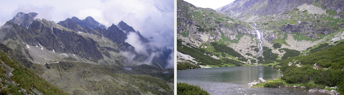
Great Cold Valley/Prielom/Polish ridge/Velicka Valley
This tour also belongs to the category of the difficult tours, but in the same time is considered one of the most beautiful in the High Tatras. We will hike through two beautiful valleys- Great Cold Valley and Velická Valley with magnificent mountain-lakes, waterfalls and streams and we will also overcome two high-mountain saddles. The first one is the mountain saddle Breakthrough (2290 m.a.s.l.) connecting Great Cold Valley with the ending of the White-water Valley (Bielovodská) called Frozen mountain pot (Zamrznutý kotol). The second one is just little further from the Breakthrough and it´s called Polish ridge. We will hike through here on our way back to the south side of the High Tatras. Polish ridge is located lower in the altitude of 2200 meters.
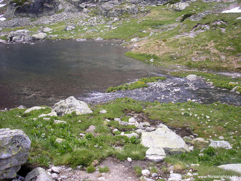
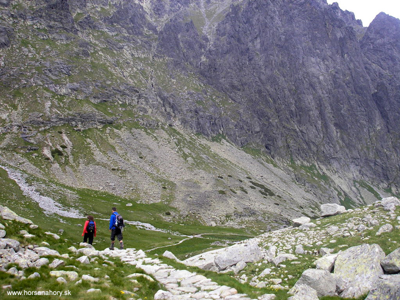
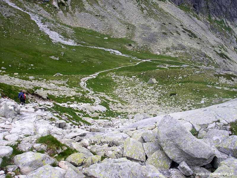
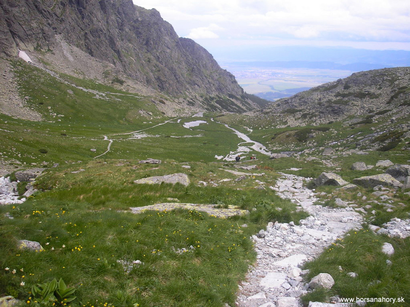
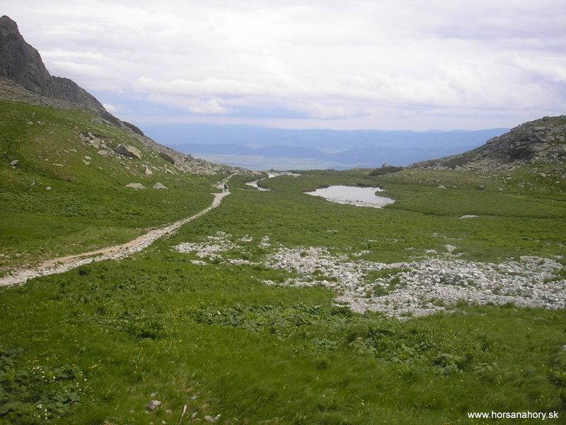
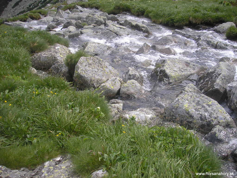
Before we start hiking we´ll take the funicular railway from Starý Smokovec to Hrebienok. From there we´ll follow the red tourist sign to Starolesnianska poľana (approx. 20 min.). Here is the crossroad of the tourist tracks and we´ll change to blue track heading towards Great Cold Valley. On the way we´ll be passing through several rock levels and moraines-remnants of the ice age. The whole Great Cold Valley will open up right in front of us and its size is really impressive. Almost the whole way we´ll go on the stone trail alongside the Great Cold stream. On the left side we´ll have a steep hillside of Slavkovský ridge with the view of Middle ridge on the right side. Among the rock blocks we will hike up to the moraine of Vareškové mountain-lake. The valley will be like on the palm of our hand from here. We´ll be going by the Long mountain-lake and the same called mountain-lake in other valley-Kvetnica but on our way back. With the little elevation we´ll come to Zbojnícka chata (Bandit Chalet). The trip from the crossroad by Starolesnianska poľana till the chalet takes 2,5 hours. This Bandit Chalet is considered to be a twin of the chalet Terinka in the neighbor Small Cold Valley. It is located in the altitude of 1960 meters.
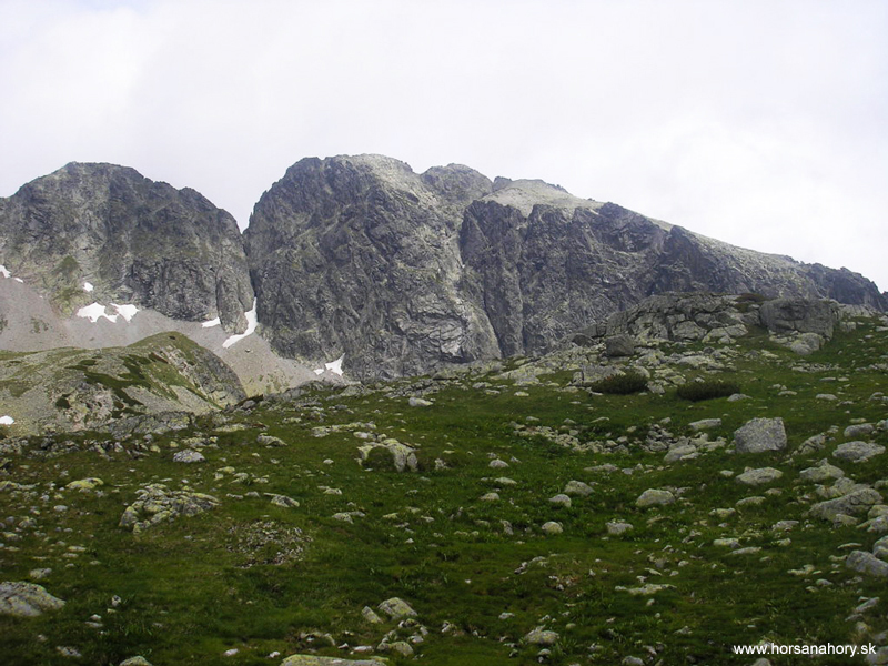
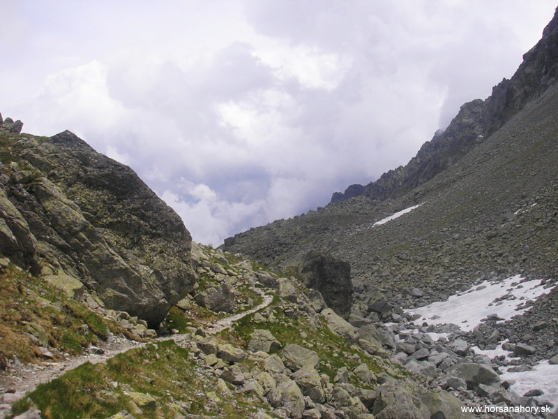
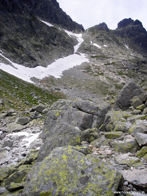
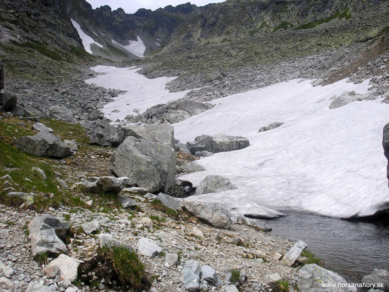
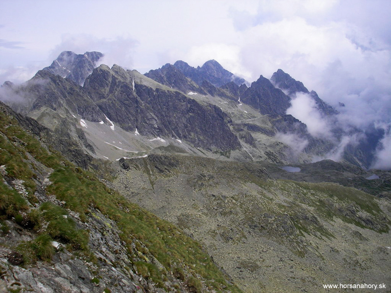
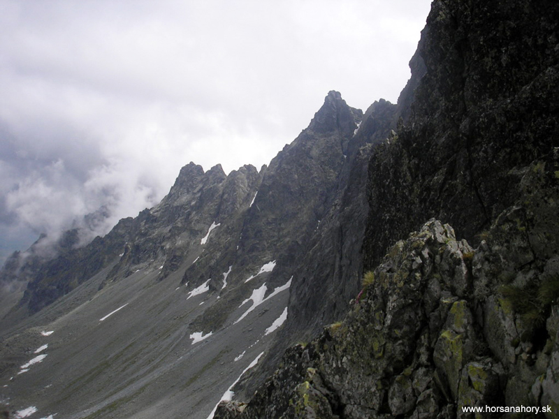
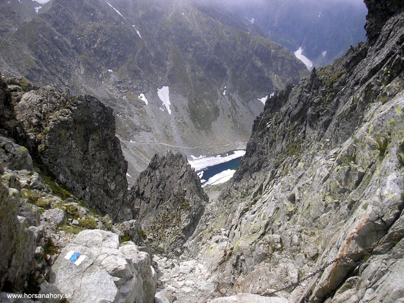
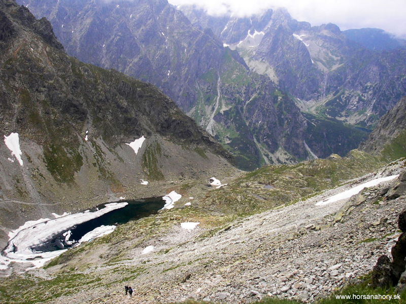
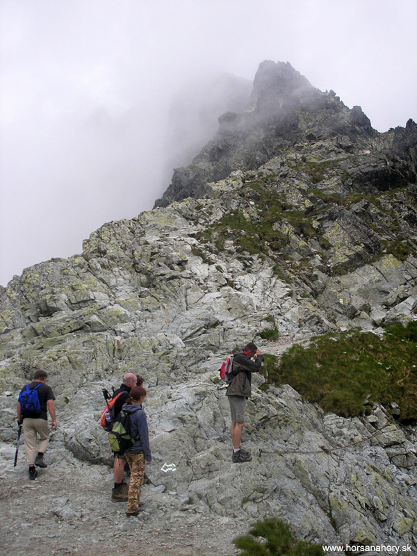
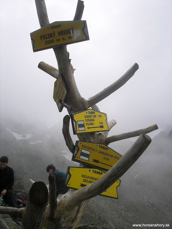
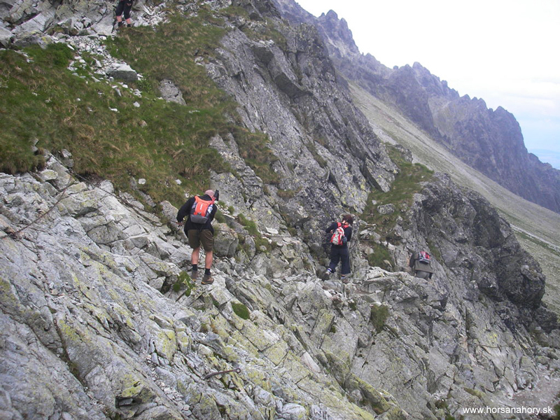
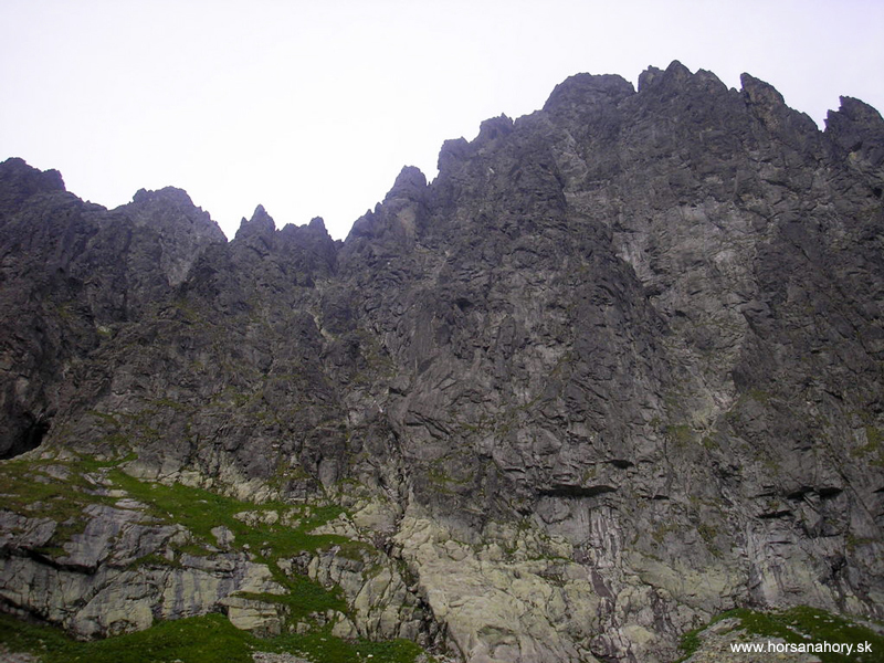
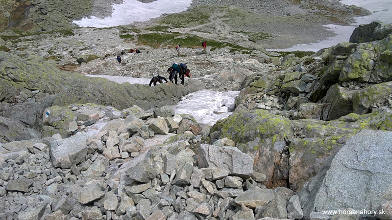
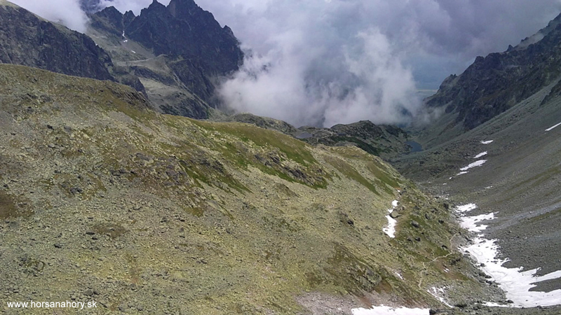
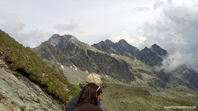
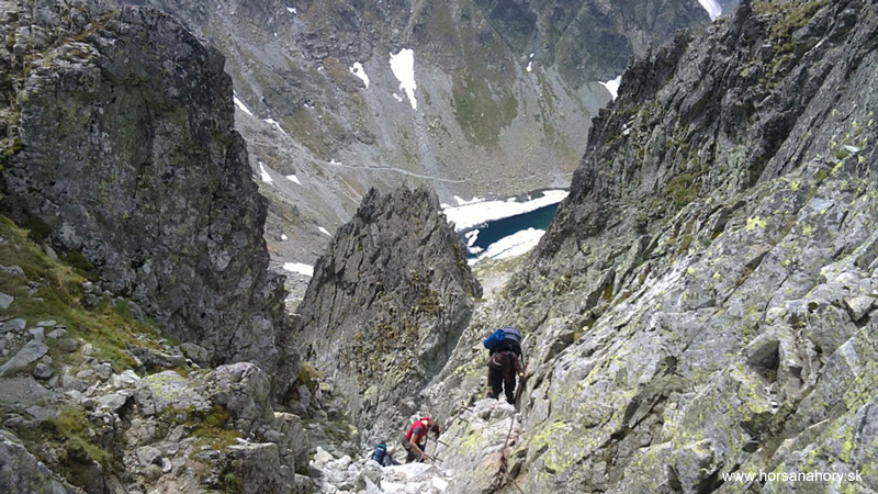
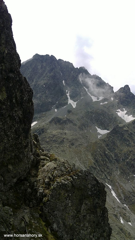
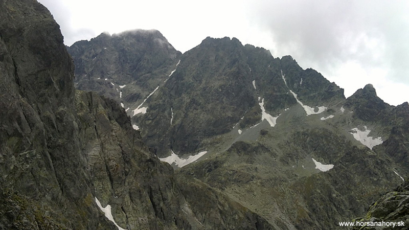
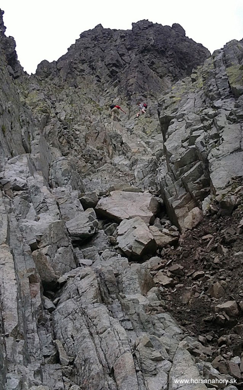
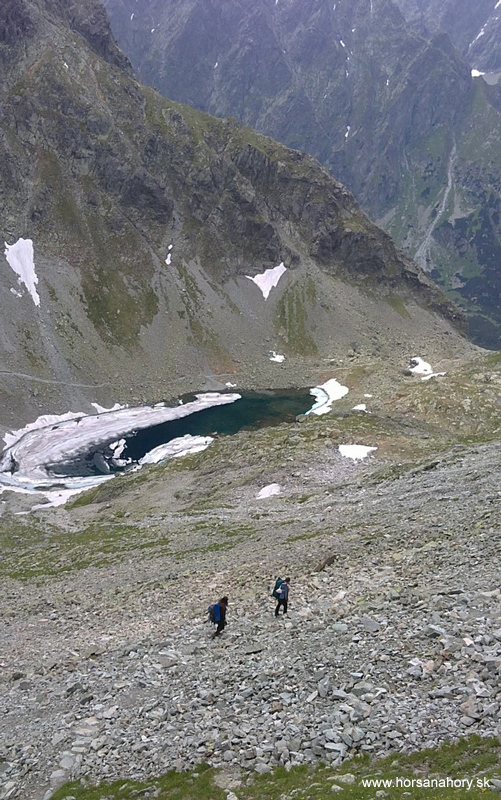
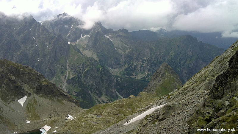
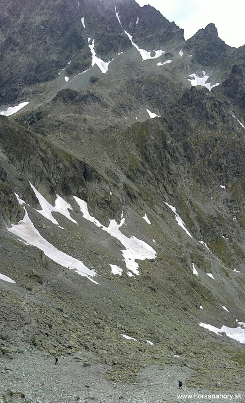
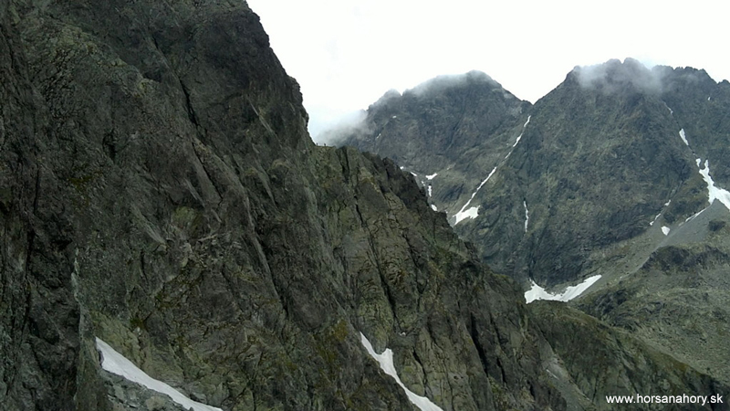
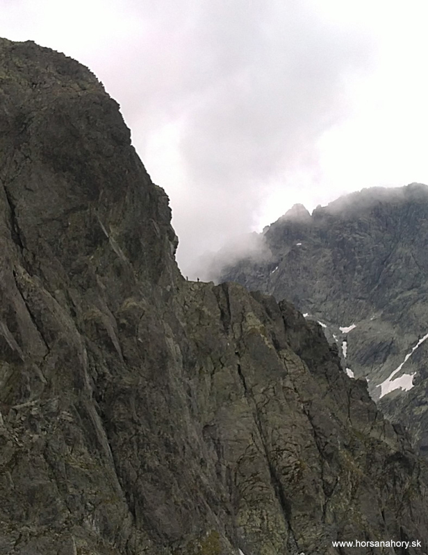
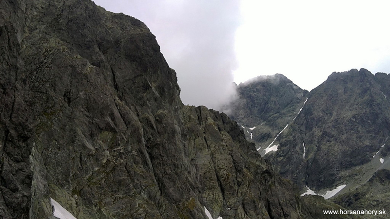
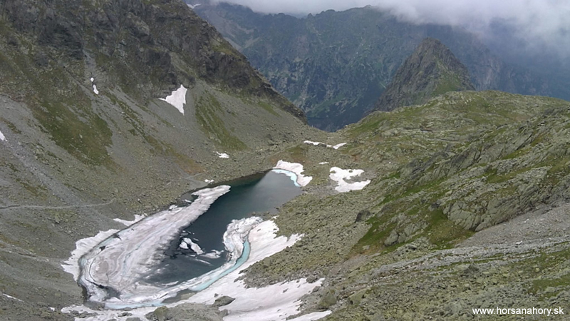
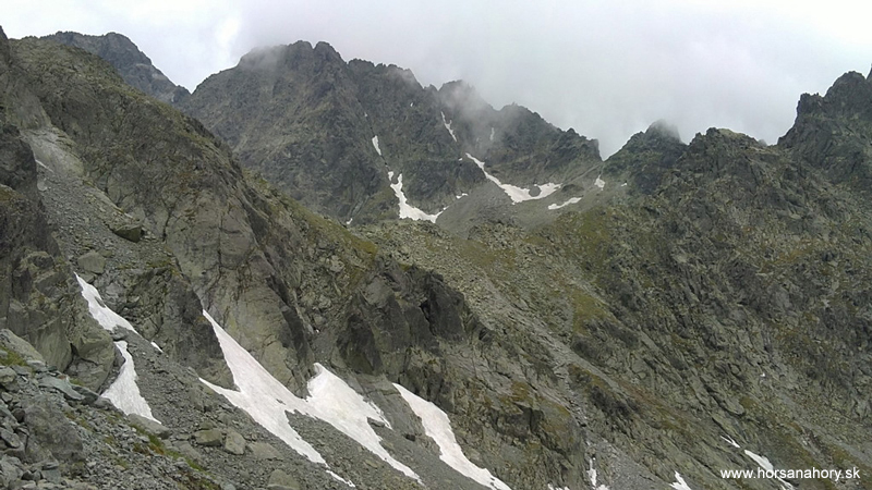
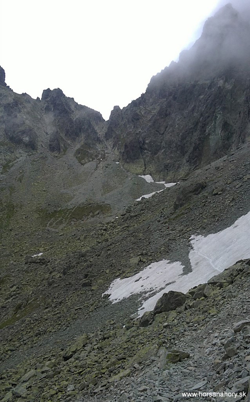
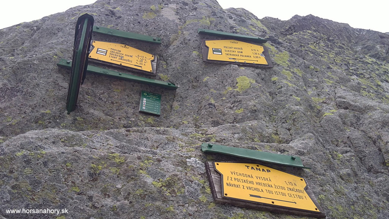
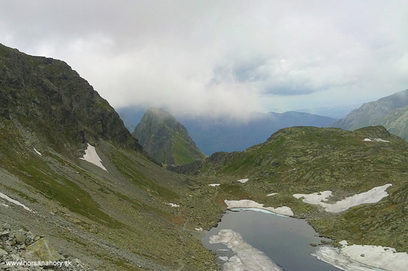
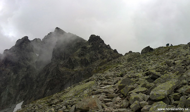
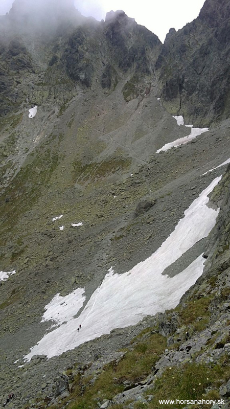
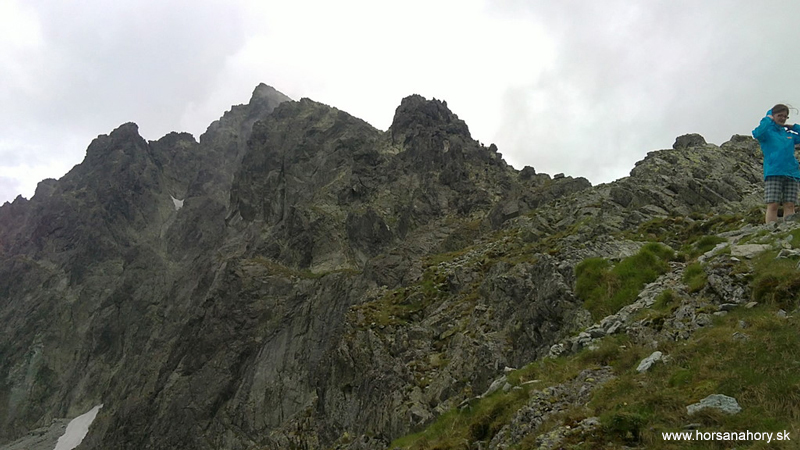
After a little break here we are ready to go on. Now we enter the high-mountain home area of the marmot and chamois and if we are lucky enough we will get to see some of them. The blue track leads by Bandit mountain-lakes through the Valley below Breakthrough and Bradavica (2476 m.a.s.l.) till Breakthrough itself and Východná Vysoká. From Bandit chalet we will get there in about 1,5 hours. We will get a beautiful view of the north side of the High Tatras- Velický peak, Litvorová priehyba and others. If the weather is fine we´ll get to see Ťažká veža with Ťažké mountain-lake and Rysy (2502 m.a.s.l.). To see a frost cover on the Frozen mountain-lake in the middle of july is really an untraditional experience. To hike down from Breakthrough we will use the hiking hooks with chains nailed to the rock. We can count on more waiting at this part because of many other tourists, especially during the season (july-august). When we get down from the mountain saddle, which isn´t a difficult task if the weather is nice, we will be going through Frosen mountain pot above Frosen mountain-lake. There even in the summer time can be found snow fields but the terrain is not very steep so passing through will be more refreshing than hard work. We´ll come to the crossroad of green and blue tourist tracks in Frosen mountain pot. We´ll turn left following the green track to Polish ridge which we will easily reach in about 15 min. The whole trip from Breakthrough to Polish ridge takes about 45 min. This is a special opportunity to walk through two mountain saddles and three valleys within an hour. When we get to the Polish ridge the wind blowing from one side of the mountain range to the other will definitely refresh us. The weather changes very quickly in these heights. If the weather is fine and we won´t get too much fog or clouds we´ll able to see Gerlach peak and Východná Vysoká. From Polish ridge there is a turn to yellow tourist track heading to the mentioned Východná Vysoká (2429 m.a.s.l.). If the weather conditions are favorable and we have enough time we can walk up there in about 45 min.and in the same time we´ll get back to the Polish ridge.
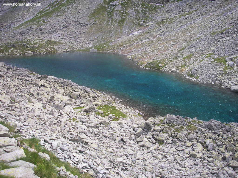
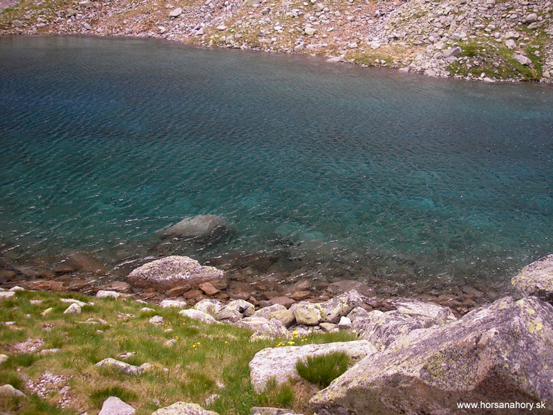
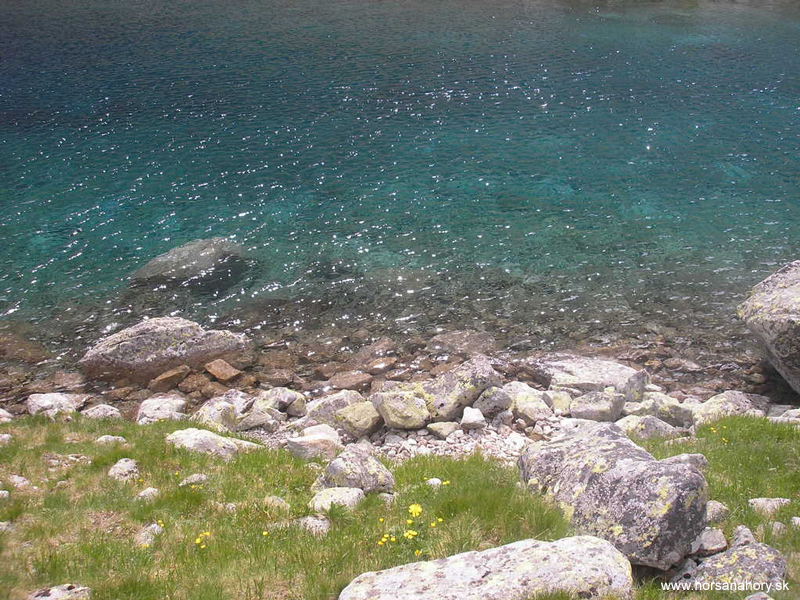
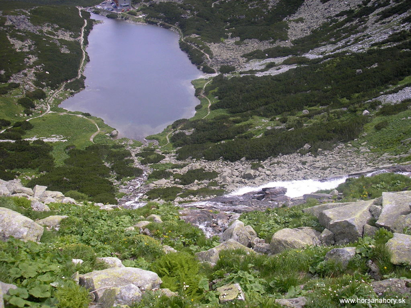
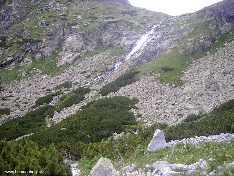
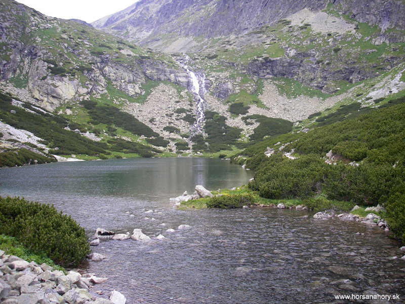
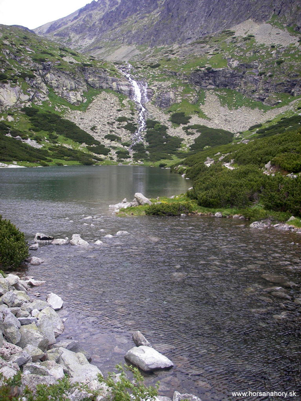
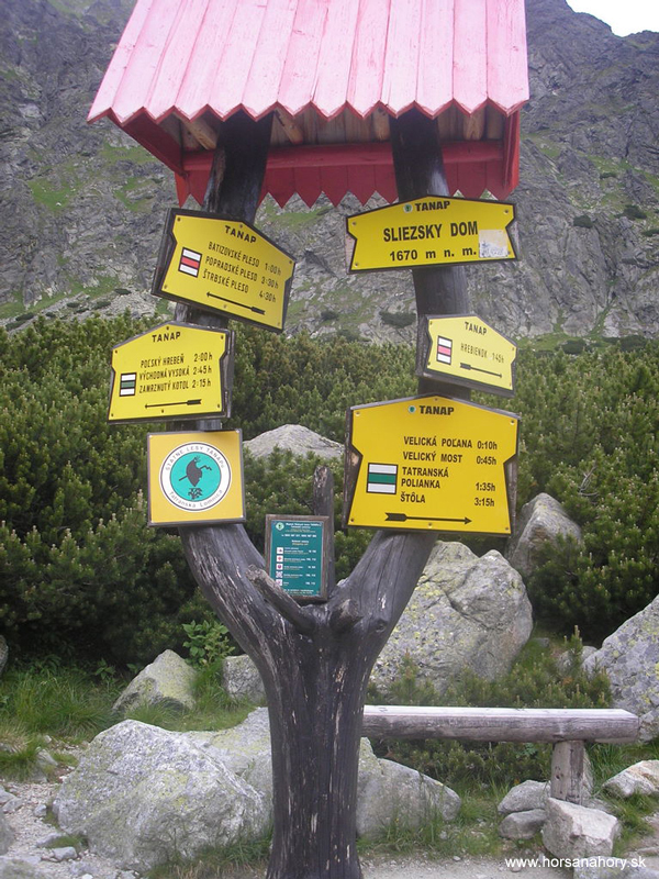
On the south side we´ll have the valley Horná Kvetnica with the beautiful colorful Long mountain-lake right below the massive east walls of Gerlach peak. From the Polish ridge we´ll walk on the track secured with the chains on the side and further down we´ll continue on the stone track passing by the Long mountain-lake. From Upper Kvetnica we will come down to the Valley Kvetnica passing by the drying out Kvetnicové mountain-lake below Everlasting rain (Večný dážď) falling down from the Garnet Towers (Granátové veže). The surrounding is created with the high-mountain fields. We´ll get to the massive rock bar with the waterfall Velický. The river below the waterfall flows into the Velické mountain-lake after few meters. It is only five meters deep and lies in the altitude of 1965 meters. On the south bank of the lake is located the hotel Sliezky dom (house). For those less “picky” tourists there is a nice pub with the fire place and warm tasty soup right behind a hotel. The walls are decorated with the pictures and maps of Gerlach. Sliezky dom is considered a starting point of the hike to Gerlach peak.
The way down from the Polish ridge to Sliezky dom takes 1,5 hours. From here we will continue on the green tourist track through Velická Valley by the beautiful Velická river across the national reserve Velická Valley till we reach Tatranská Polianka. This part of the trip is the most difficult because we have to find our way through the big stones and tree roots and sometimes you even feel like you walk right in the river trough. It will take us around 2 hours. The goal of our journey is the settlement Tatranská Polianka and it has a good transport connection with the electric railway or on the state road heading to Smokovce- Štrbské mountain-lake.
This daylong trip is difficult with the elevation of 1285 meters and if we count in the descent and climb between two mountain saddles we can add 200 meters of elevation and with the side cut to Východná Vysoká it is even 230 meters more. The length of the trip is about 16 kilometers.


Great Cold Valley/Prielom/Polish ridge/Velicka Valley
This tour also belongs to the category of the difficult tours, but in the same time is considered one of the most beautiful in the High Tatras. We will hike through two beautiful valleys- Great Cold Valley and Velická Valley with magnificent mountain-lakes, waterfalls and streams and we will also overcome two high-mountain saddles. The first one is the mountain saddle Breakthrough (2290 m.a.s.l.) connecting Great Cold Valley with the ending of the White-water Valley (Bielovodská) called Frozen mountain pot (Zamrznutý kotol). The second one is just little further from the Breakthrough and it´s called Polish ridge. We will hike through here on our way back to the south side of the High Tatras. Polish ridge is located lower in the altitude of 2200 meters.
Before we start hiking we´ll take the funicular railway from Starý Smokovec to Hrebienok. From there we´ll follow the red tourist sign to Starolesnianska poľana (approx. 20 min.). Here is the crossroad of the tourist tracks and we´ll change to blue track heading towards Great Cold Valley. On the way we´ll be passing through several rock levels and moraines-remnants of the ice age. The whole Great Cold Valley will open up right in front of us and its size is really impressive. Almost the whole way we´ll go on the stone trail alongside the Great Cold stream. On the left side we´ll have a steep hillside of Slavkovský ridge with the view of Middle ridge on the right side. Among the rock blocks we will hike up to the moraine of Vareškové mountain-lake. The valley will be like on the palm of our hand from here. We´ll be going by the Long mountain-lake and the same called mountain-lake in other valley-Kvetnica but on our way back. With the little elevation we´ll come to Zbojnícka chata (Bandit Chalet). The trip from the crossroad by Starolesnianska poľana till the chalet takes 2,5 hours. This Bandit Chalet is considered to be a twin of the chalet Terinka in the neighbor Small Cold Valley. It is located in the altitude of 1960 meters.
After a little break here we are ready to go on. Now we enter the high-mountain home area of the marmot and chamois and if we are lucky enough we will get to see some of them. The blue track leads by Bandit mountain-lakes through the Valley below Breakthrough and Bradavica (2476 m.a.s.l.) till Breakthrough itself and Východná Vysoká. From Bandit chalet we will get there in about 1,5 hours. We will get a beautiful view of the north side of the High Tatras- Velický peak, Litvorová priehyba and others. If the weather is fine we´ll get to see Ťažká veža with Ťažké mountain-lake and Rysy (2502 m.a.s.l.). To see a frost cover on the Frozen mountain-lake in the middle of july is really an untraditional experience. To hike down from Breakthrough we will use the hiking hooks with chains nailed to the rock. We can count on more waiting at this part because of many other tourists, especially during the season (july-august). When we get down from the mountain saddle, which isn´t a difficult task if the weather is nice, we will be going through Frosen mountain pot above Frosen mountain-lake. There even in the summer time can be found snow fields but the terrain is not very steep so passing through will be more refreshing than hard work. We´ll come to the crossroad of green and blue tourist tracks in Frosen mountain pot. We´ll turn left following the green track to Polish ridge which we will easily reach in about 15 min. The whole trip from Breakthrough to Polish ridge takes about 45 min. This is a special opportunity to walk through two mountain saddles and three valleys within an hour. When we get to the Polish ridge the wind blowing from one side of the mountain range to the other will definitely refresh us. The weather changes very quickly in these heights. If the weather is fine and we won´t get too much fog or clouds we´ll able to see Gerlach peak and Východná Vysoká. From Polish ridge there is a turn to yellow tourist track heading to the mentioned Východná Vysoká (2429 m.a.s.l.). If the weather conditions are favorable and we have enough time we can walk up there in about 45 min.and in the same time we´ll get back to the Polish ridge.
On the south side we´ll have the valley Horná Kvetnica with the beautiful colorful Long mountain-lake right below the massive east walls of Gerlach peak. From the Polish ridge we´ll walk on the track secured with the chains on the side and further down we´ll continue on the stone track passing by the Long mountain-lake. From Upper Kvetnica we will come down to the Valley Kvetnica passing by the drying out Kvetnicové mountain-lake below Everlasting rain (Večný dážď) falling down from the Garnet Towers (Granátové veže). The surrounding is created with the high-mountain fields. We´ll get to the massive rock bar with the waterfall Velický. The river below the waterfall flows into the Velické mountain-lake after few meters. It is only five meters deep and lies in the altitude of 1965 meters. On the south bank of the lake is located the hotel Sliezky dom (house). For those less “picky” tourists there is a nice pub with the fire place and warm tasty soup right behind a hotel. The walls are decorated with the pictures and maps of Gerlach. Sliezky dom is considered a starting point of the hike to Gerlach peak.
The way down from the Polish ridge to Sliezky dom takes 1,5 hours. From here we will continue on the green tourist track through Velická Valley by the beautiful Velická river across the national reserve Velická Valley till we reach Tatranská Polianka. This part of the trip is the most difficult because we have to find our way through the big stones and tree roots and sometimes you even feel like you walk right in the river trough. It will take us around 2 hours. The goal of our journey is the settlement Tatranská Polianka and it has a good transport connection with the electric railway or on the state road heading to Smokovce- Štrbské mountain-lake.
This daylong trip is difficult with the elevation of 1285 meters and if we count in the descent and climb between two mountain saddles we can add 200 meters of elevation and with the side cut to Východná Vysoká it is even 230 meters more. The length of the trip is about 16 kilometers. The guide will provide you with the safe guiding in the high-mountain terrain, the accident insurance + transport (if needed).