slovak
 Español
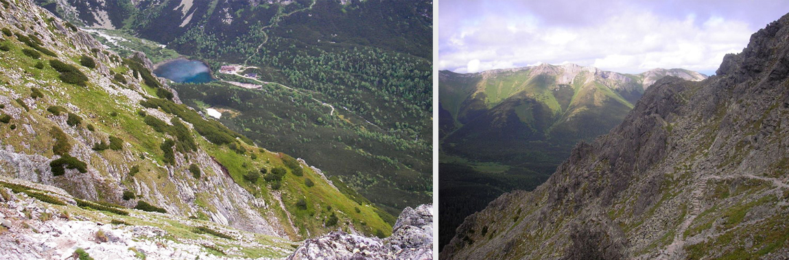
Rocky mountain-lake/Mountain-saddle bellow Svišťovka/Green mountain-lake/White water
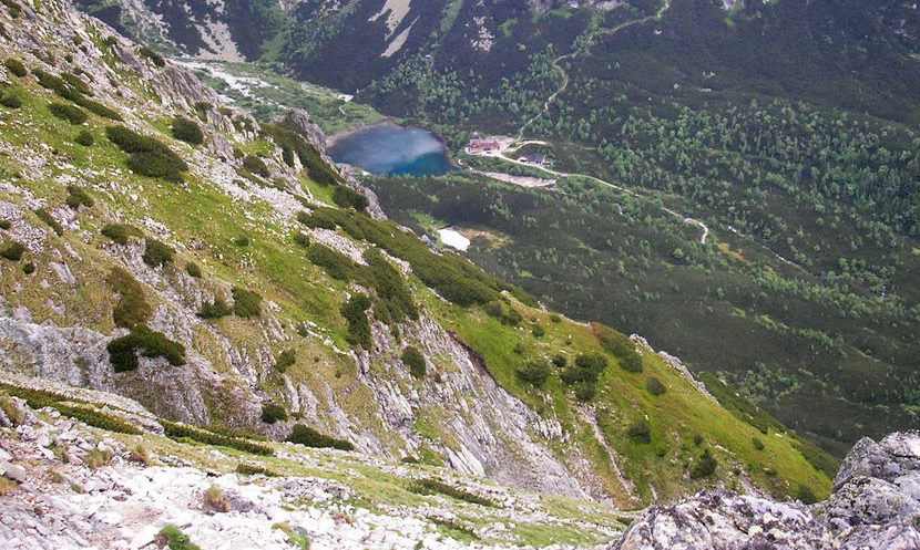
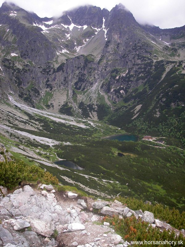
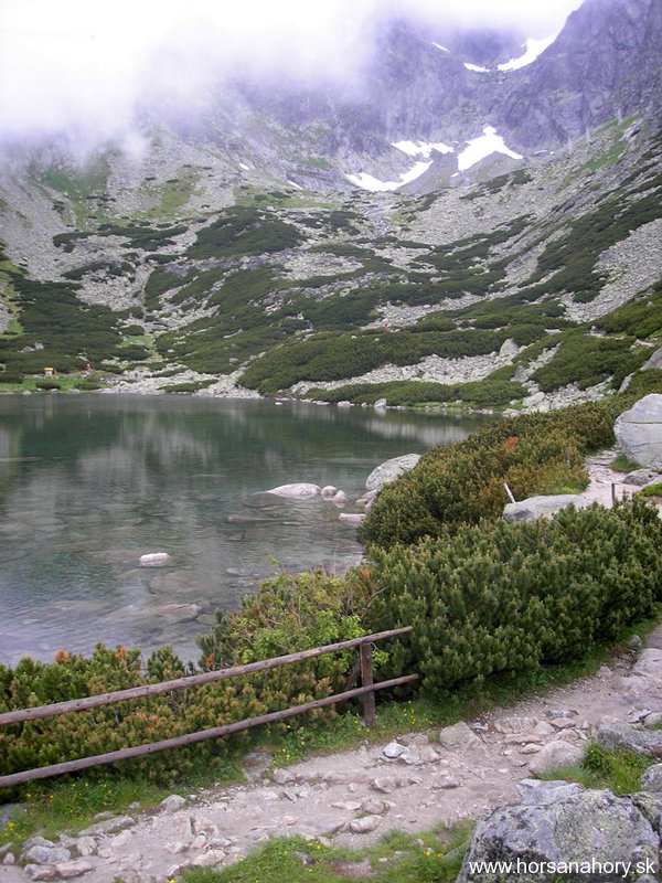
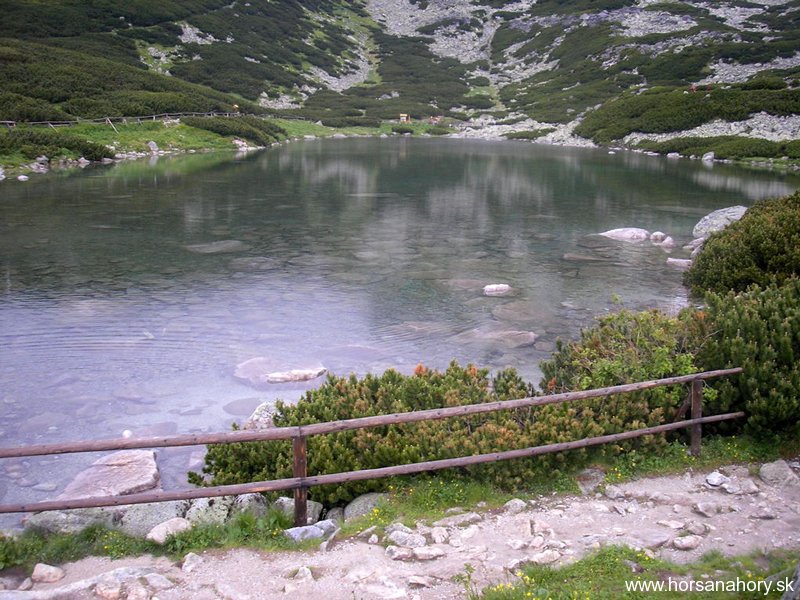
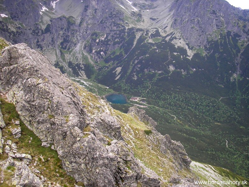
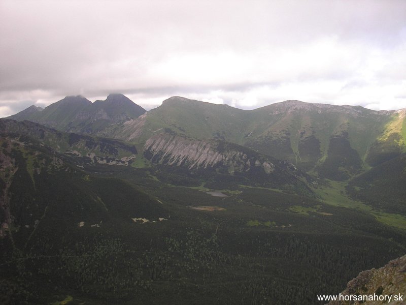
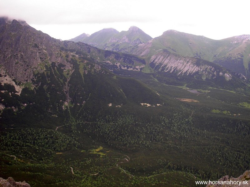
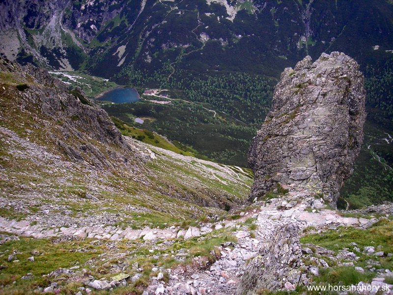
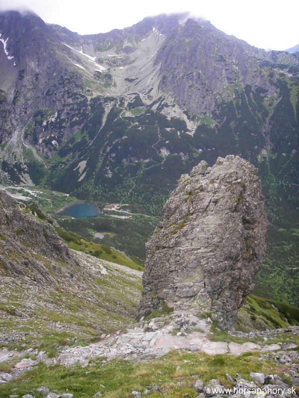
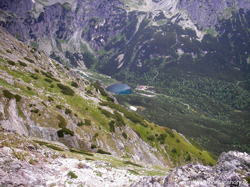
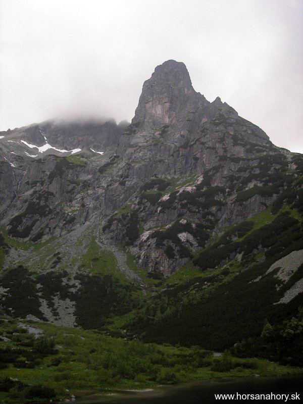
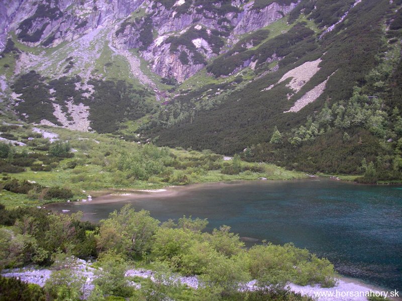
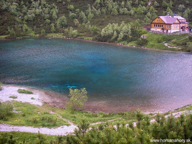
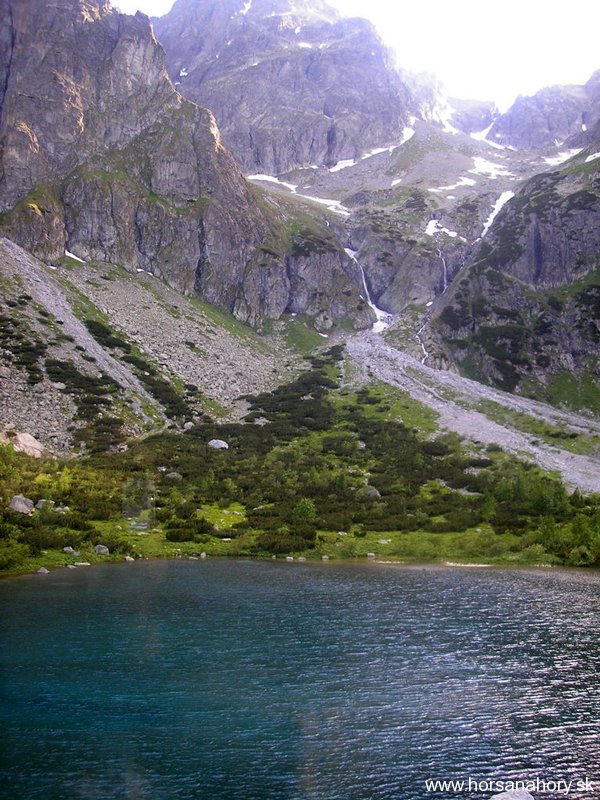
The track is locatedon the eastern side of the mountain range and offers us a spectacular view of the scenic Green mountain-lake in the Green mountain-lake valley. The highest mountain shields of this mountain range come together in this valley.Kežmarský shield, Lomnický shield, Big and Small Proud shield (Veľký a MalýPyšnýštít), Ram horns (Baranierohy), Black and Lamb shield ( Čierny a Jahňacíštít) surround this emerald green mountain lake shining beneath The Hawk tower.
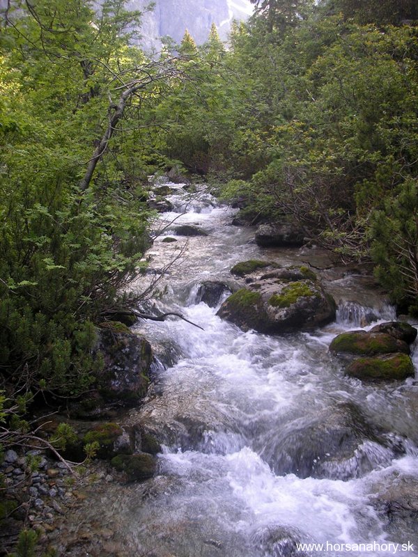
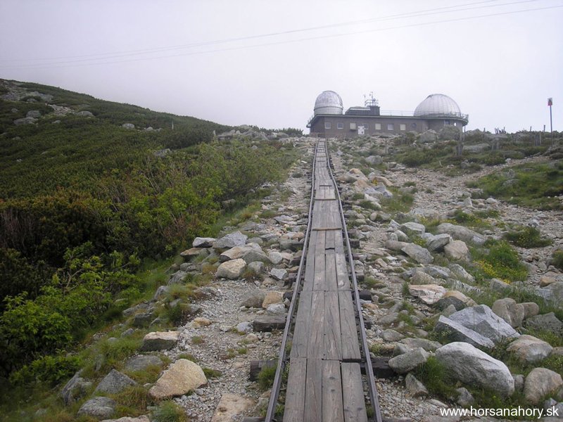
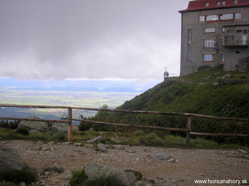
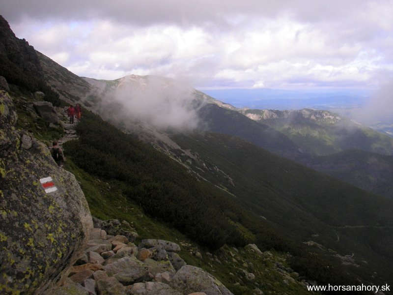
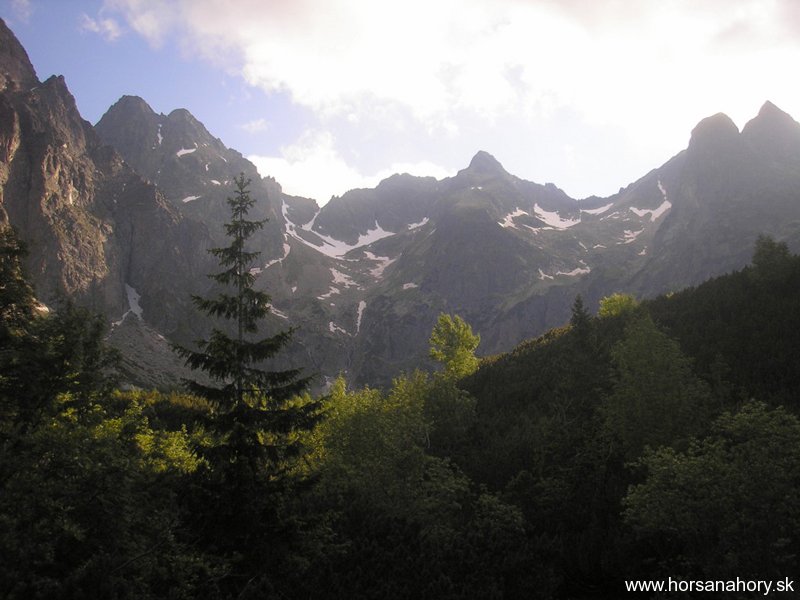
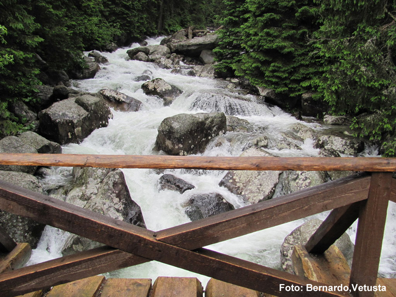
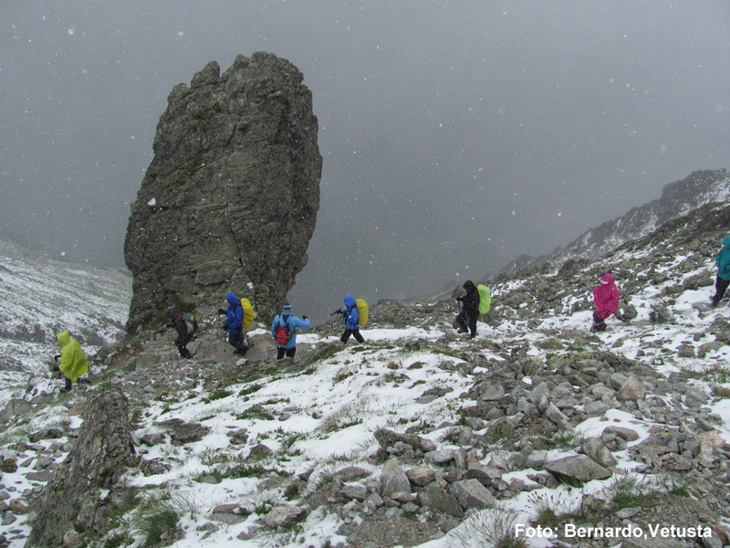
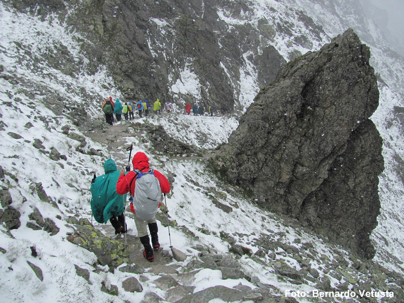
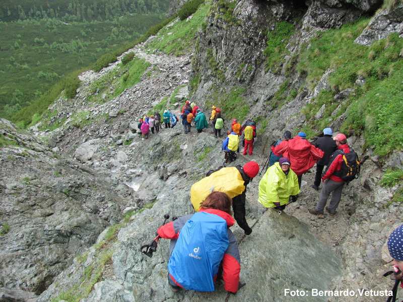
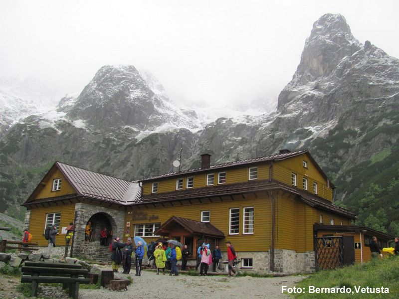
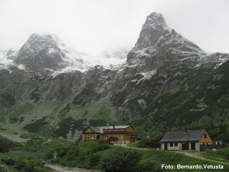
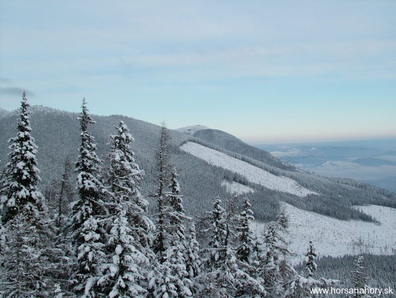
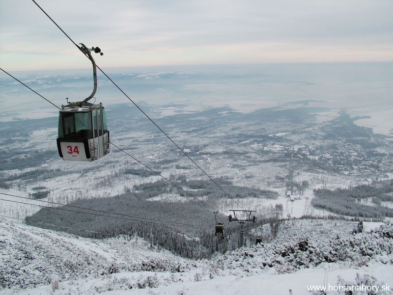
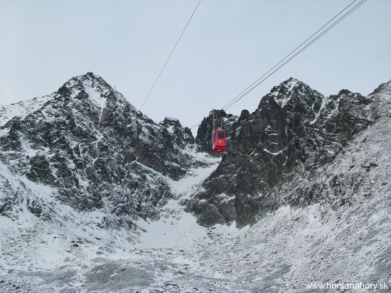
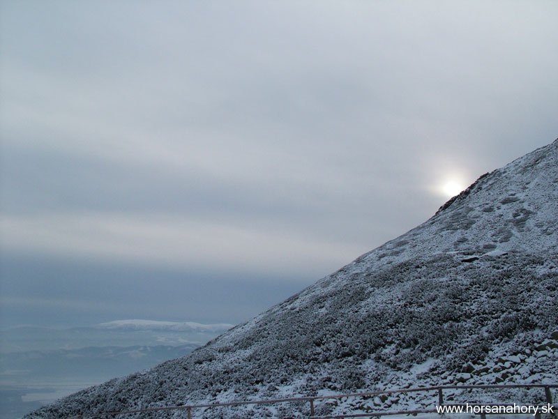
Difficulty of this tour is medium. Cablecar will take us up to the altitude of 1751 m.a.s.l. Five minutes of walk from the cablecar stop is the Rocky chalet. Interior is full of the photos and various original properties of the mountain carrier LadislavKulang – currently cottager in Rocky chalet. We will return back to the Rocky mountain-lake and start following the red signed tourist track going to the Mountain-saddle below Svišťovka. The elevation is smooth and the track is located on the hillside of the Huncovský shield. In front of us will appear mountain range BelianskeTatry and on the right side will be the depth Popradská fold. In hour and quarter we will hike up to the mountain-saddle below Svišťovka in the altitude of 2023 m.a.s.l. There will open up a spectacular view of the Green mountain-lake valley. It is very attractive place for tourists and also one of the most romantic places in the whole Tatras. It attracts photographers and artists from the broad surroundings. Besides above mentioned Green mountain-lake you will also get to see smaller Black mountain-lake and to the right from it by Belianky also White mountain-lake. Next to it below The Lamb shield are also The Red and The Blue mountain-lakes. In order to get down to the valley we will be going through the fold secured with chains. This is the most difficult part of the tour and we have to watch our step on the crumbly stones. Then we will continue the hiking alongside The Black mountain-lake going to chalet by The Green mountain-lake (Brnčalka). It is very nice place to sit and eventually order something from the restaurant. The views from the chalet itself are just stunning. Besides The Hawk tower and many other shields we will also see The Big and The Copper waterfalls. The chalet is the starting point of the yellow tourist track to The Lamb shield ( 2230m.a.s.l.)- it is the easternmost shield of the main Tatrasrange which separates The Kopské mountain-saddle (1750 m.a.s.l.) from the BelianskeTatry. From the chalet there are two possibilities for tourists- depends on whether you want to take longer trip (red tourist track) along The White mountain-lake or shorter (yellow tourist track) along the creek though the Green mountain-lake valley. We will take the second possibility. The track leads right next to the creek through the knee timber later on through the spruce forest. Behind our backs we will have the scenery with the highest mountain shields- on the left is the range of The BelianskeTatry with Jatky, Hlúpy, Ždiarskou fork and Havran. After hour and half we will get to The Salvia spring where we will change to the blue tourist track. We will cross the roaring White creek on the bridge. The name The White creek is really accurate- its waters rush over the stones with enormous speed and energy and create white foam. The path will get straighter with the little decline and through The Kežmarská White water valley it will lead us to our destination which is the parking place- White water by the road going from TatranskáLomnica to TatranskáKotlina.
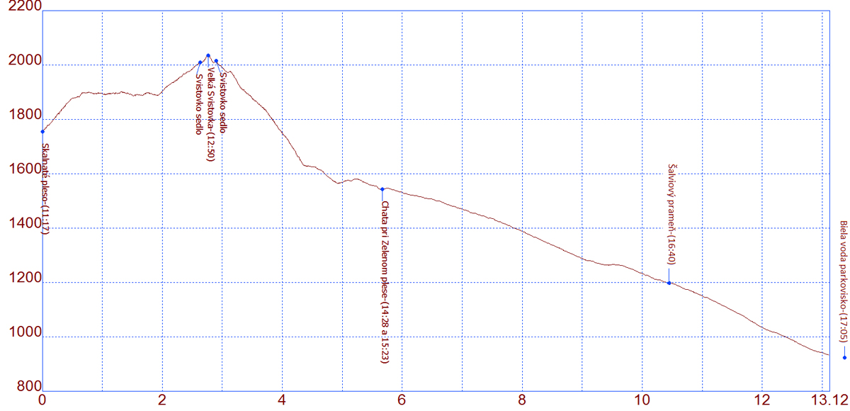
The whole tour is medium level of difficulty. It is 13 kilometers long. It starts in the altitude of 1750 m.a.s.l. and ends in 923 m.a.s.l. We will overcome the elevation of 330 meters and decline of 1161 meters. The highest point of the tour is in the altitude of 2023 meters or 2037 meters- if we hike from the mountain-saddle up to Big Svišťovka which is distant only about five minutes. The entire trip takes 6 hours.
High-altitude GPS profile of the tour and some more photos have been provided by the Spanish mountain club from Oviedo called VetustaGrupoMontañero.